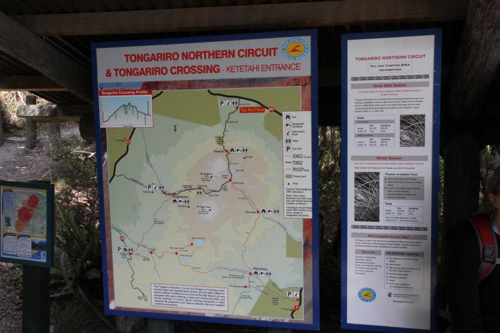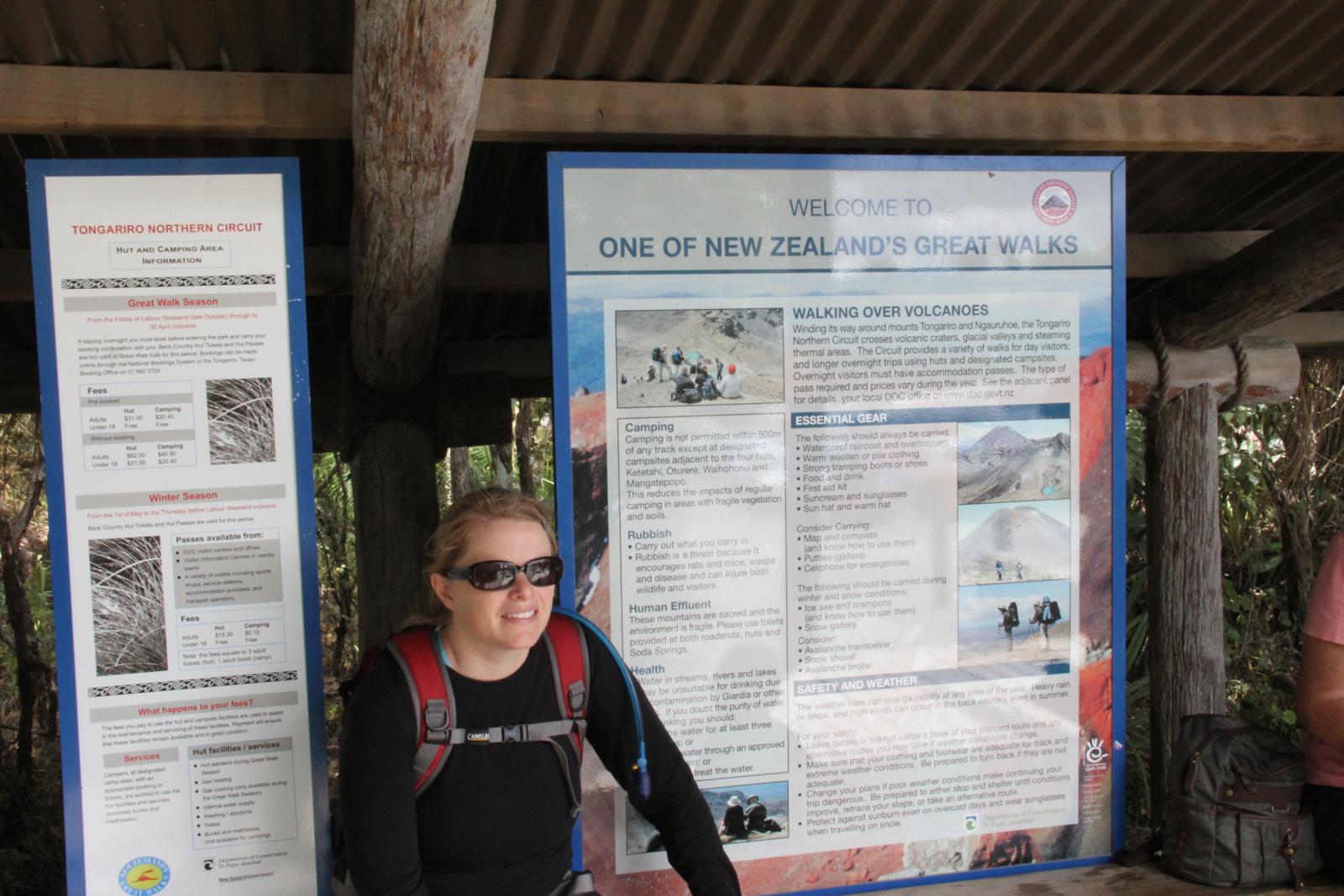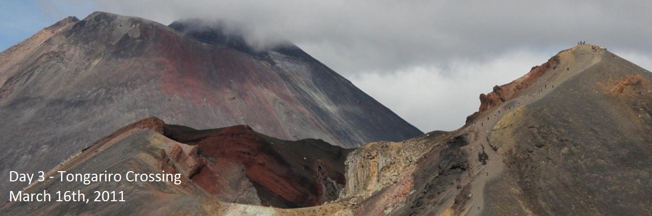
One of the things Erin and I really wanted to do in New Zealand was a
trail called the Tongariro Alpine Crossing. The crossing is
billed by
various books and websites at the best day hike in New Zealand and some
even say the world. That was definitely something we couldn't
miss. Since it is about a 12 mile hike over a volcanic plateau,
we knew Tyler wouldn't be able to make the hike with us. Luckily,
my parents agreed to take Tyler for the day while we did the
hike. The other really nice thing about that is since the hike is
one way, my parents would be able to drop us off at the start and pick
us up on the other side when we finished the hike.
We woke up closer to a normal time and we were finally feeling like we
were getting adjusted to New Zealand time. The forecast had been
for the mountains to be full of clouds early in the morning, so we had
planned to get a late start on the hike around 9:30. When we woke
up, the skies were a beautiful clean blue, so we hurried to get ready
and drove to the trail. We said good by to my parents and Tyler,
set a time be picked up, and headed off on to the crossing. This
hike was very different than anything we had done in New Zealand so
far. Instead of being in a tropical looking forest, we were in a
volcanic desert looking area. The trail starts off easy enough
and we made quick work of the beginning section. Just a few
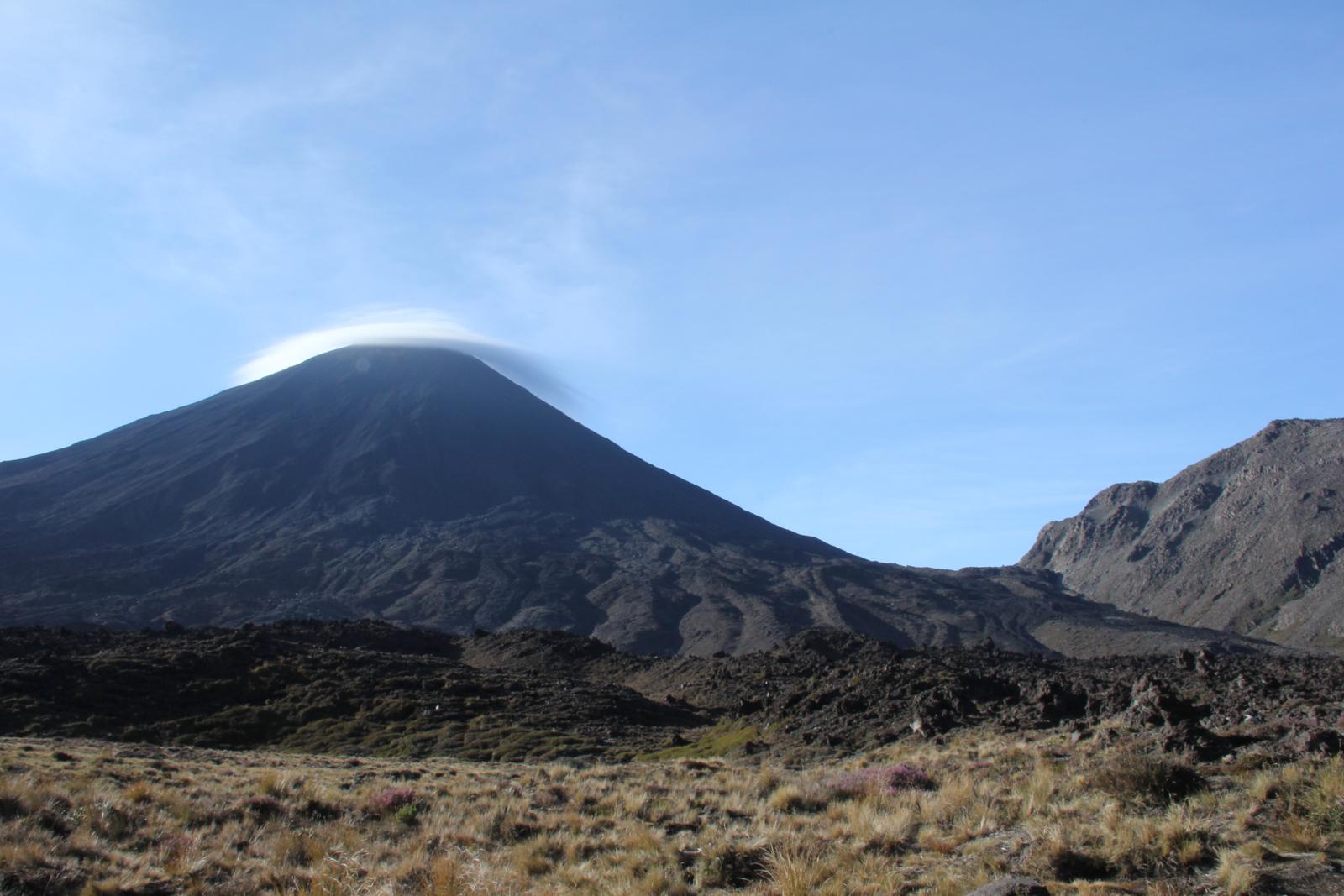
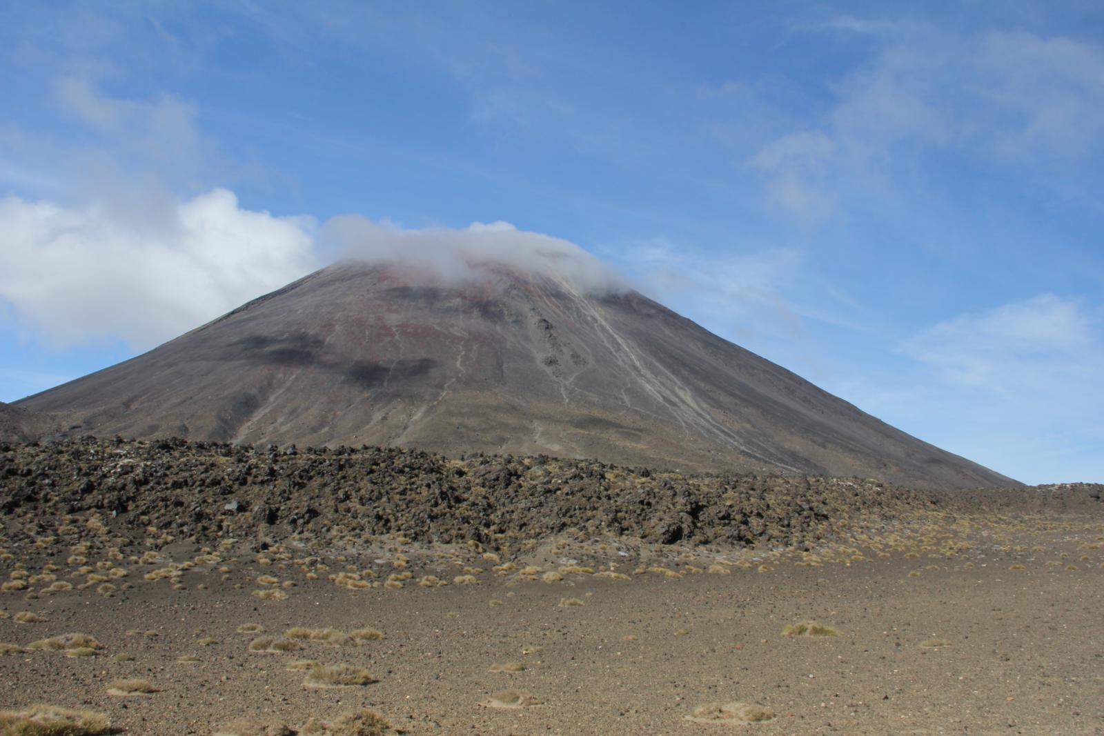
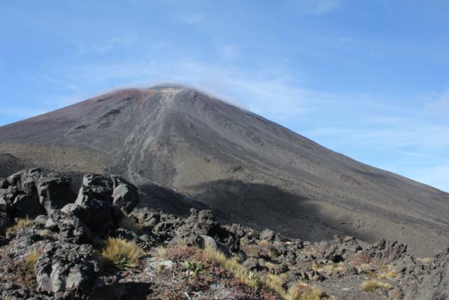
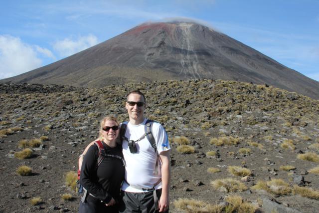
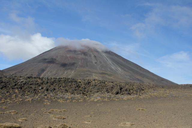
minutes in and we were already starting to get great views
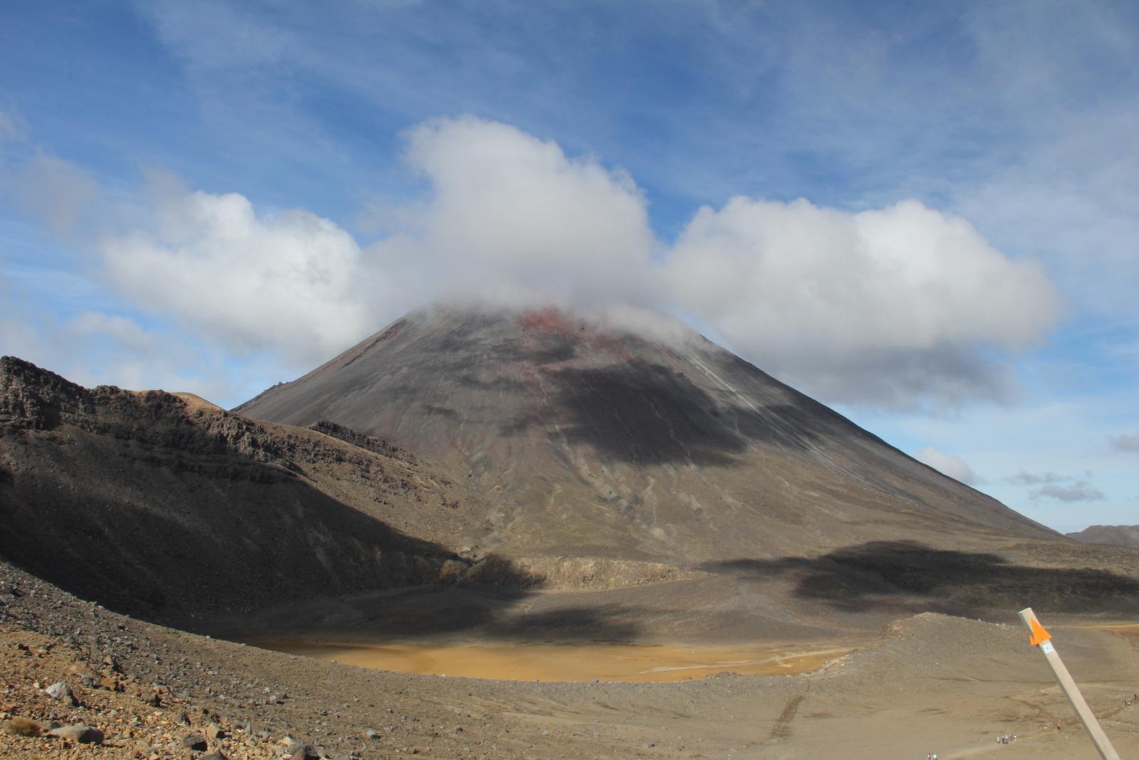
of Mt. Ngauruhoe. This was the volcano that was used for Mt. Doom
in the Lord of the Rings movies. I'm not sure that we ever saw
the top of the summit as it was covered by small clouds most of the
day.

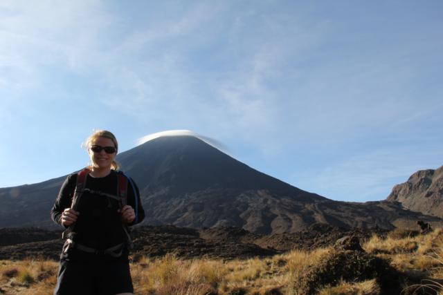

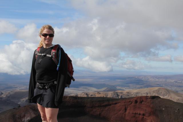
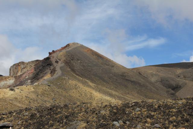
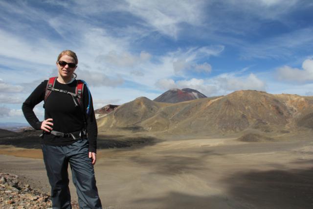
Erin looking fresh and full of energy to start the hike and some views
of Mt. Ngauruhoe.
The trail was nice and easy and we were making good progress. The
trail started to get steep and we saw this sign:
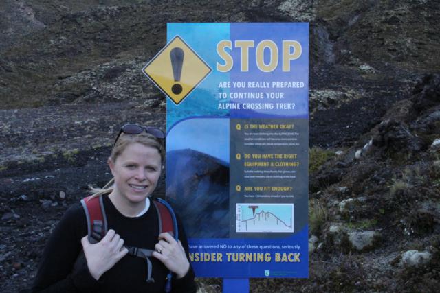
Thankfully, the sign didn't scare us off.
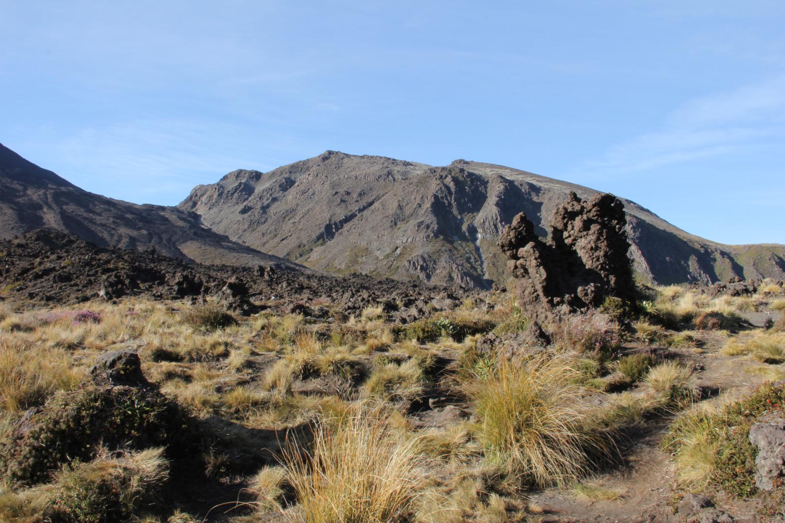
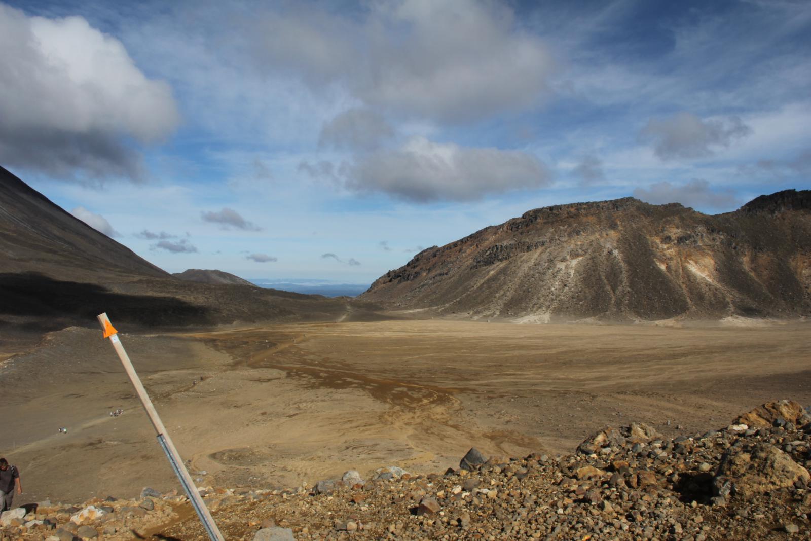
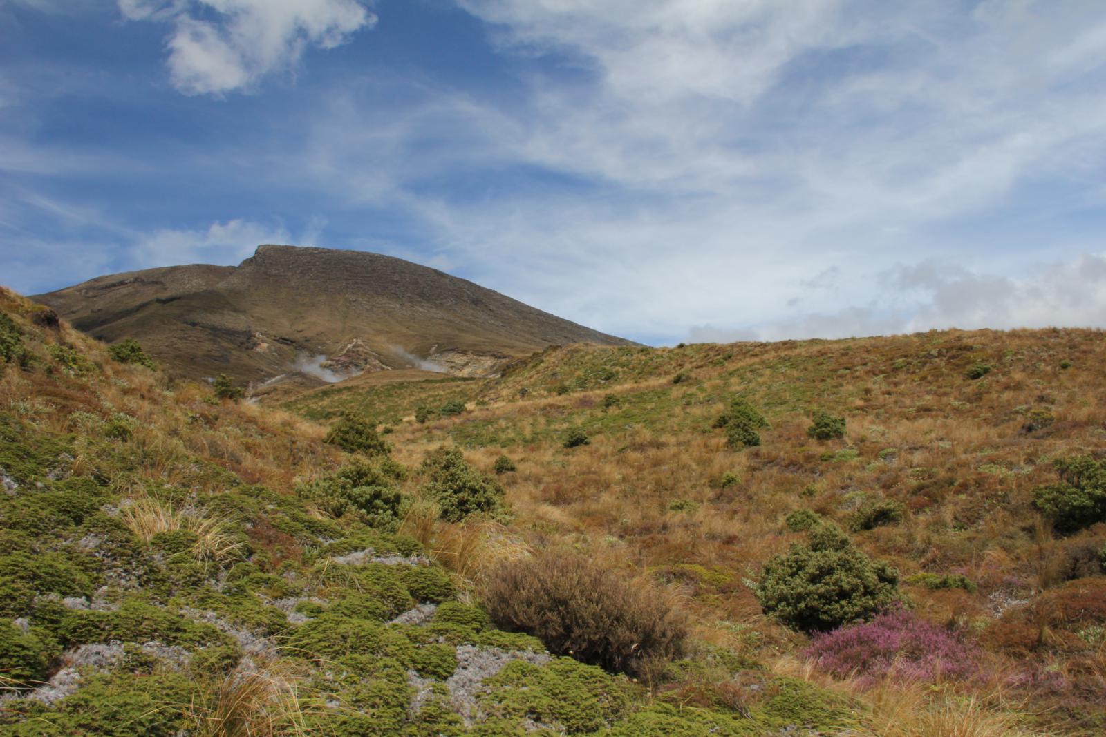
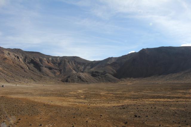
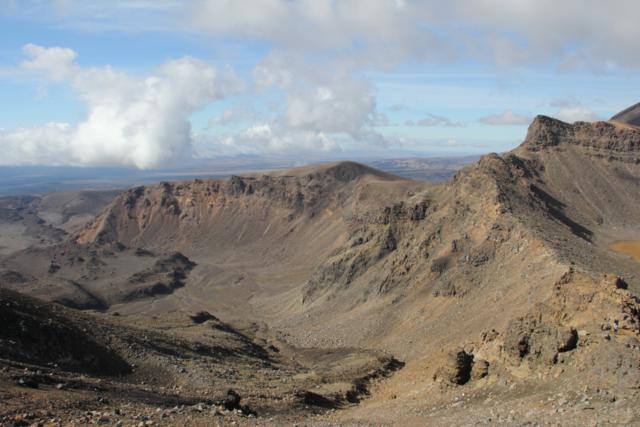
The trail turned very steep as we headed up to a volcanic
plateau. There were many numerous views to keep your mind off of
the work you were doing.
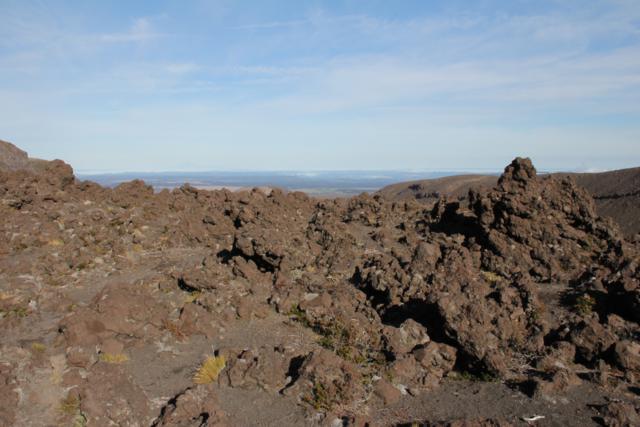

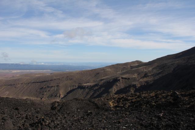
Nice views abound.
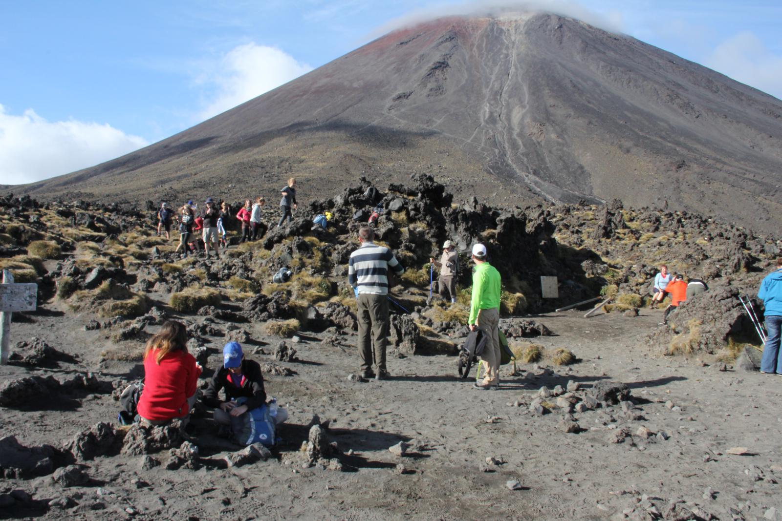
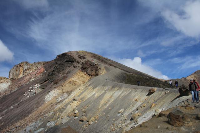
Eventually we made it to the top of the climb and were greeted by a ton
of people. We had read how popular this hike was and we had
passed quite a few slower hikers on the way up, but we still weren't
prepared for how many people we saw taking a break at the top of the
climb:

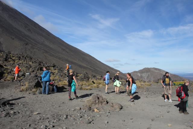

Crowd on the trail.
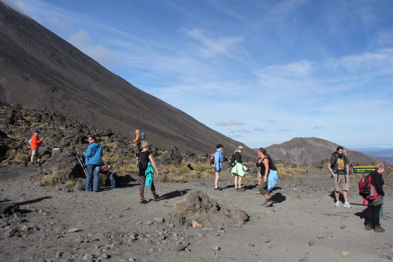
We continued on with the hike after a short break and couldn't help but
take lots of pictures. The trail was very strange. We've
done a lot of mountain hiking before, but this was different because of
the volcanic features on this hike. We weren't hiking on
mountains, we were hiking on volcanoes and old lava flows. That
was certainly something new.


Volcanic formations.
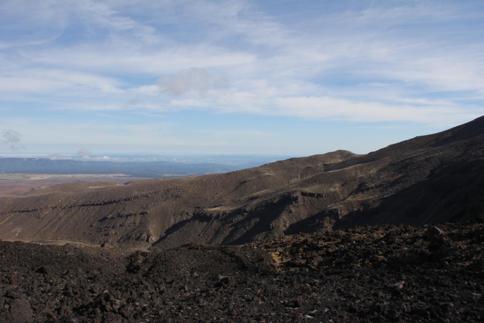
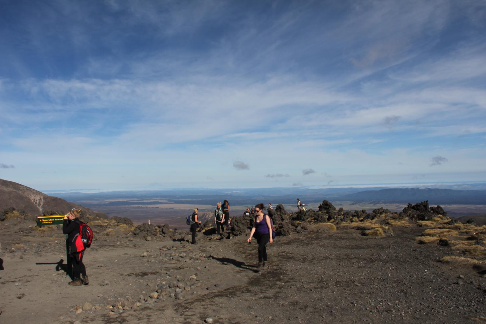
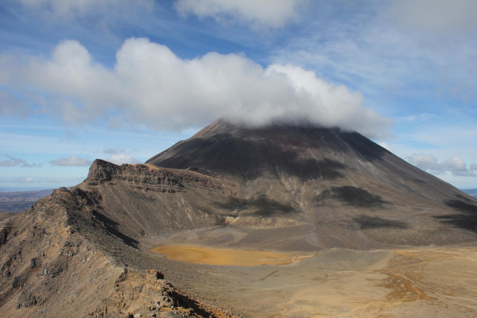
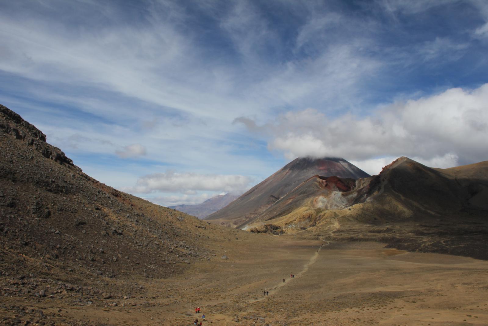
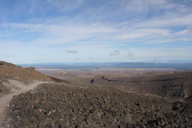
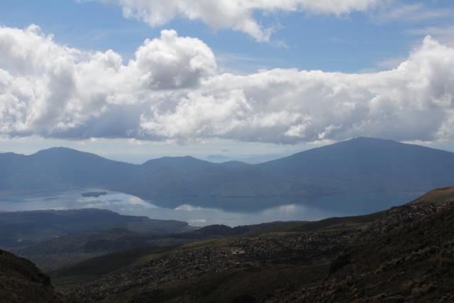
We continued on through some windy sections and then reached the
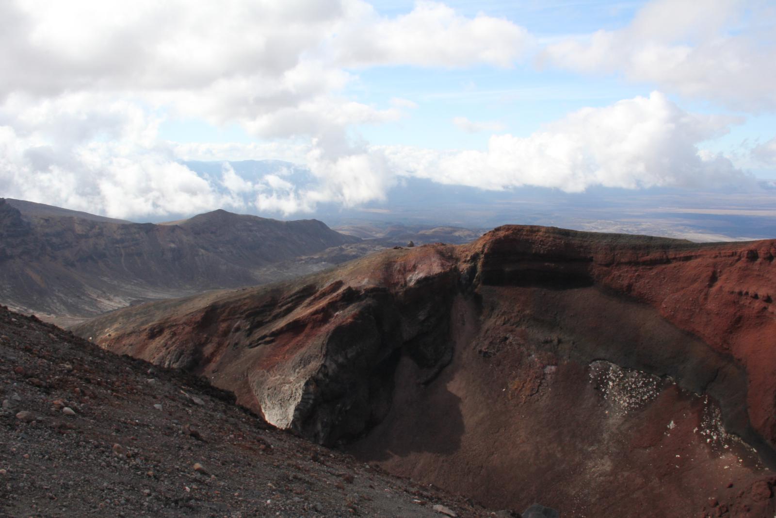
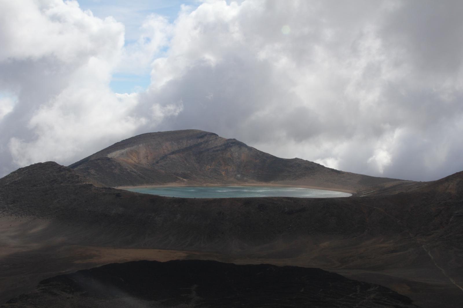
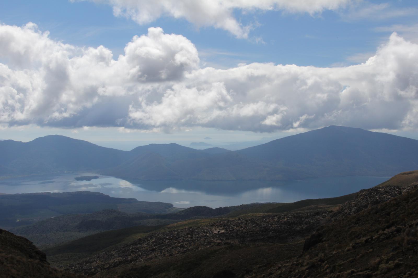
highest point of the hike. From there you could see red crater
(appropriately named) as well as some beautiful lakes and some cool
steam vents.
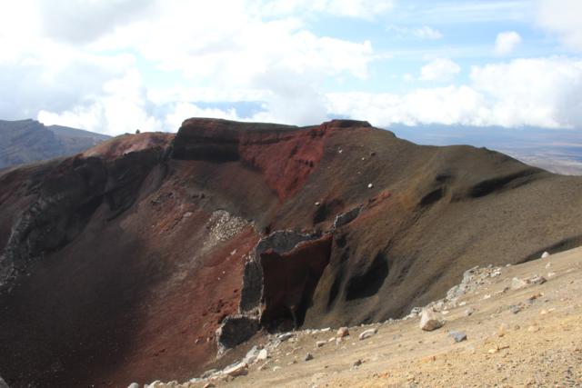
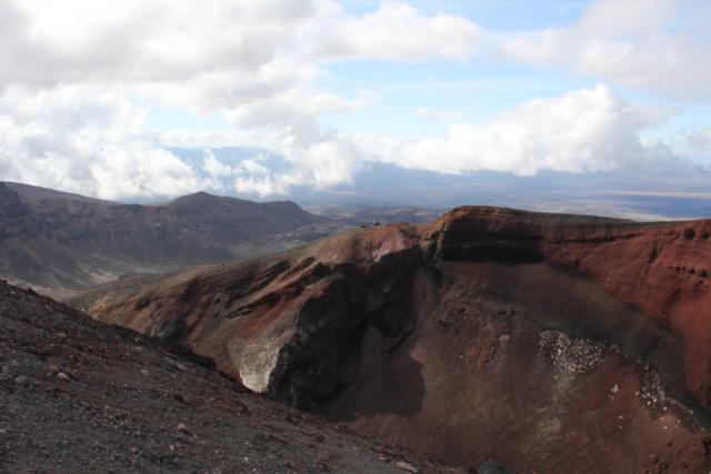

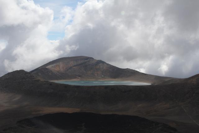
Steam vents, volcanoes, and lakes.
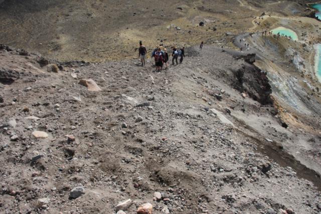
We continued on down a steep and very loose scree (gravel) trail
towards the lakes. The best way to describe this part of the trail is
kind of a cross between walking and skiing. For every step you took,
you slid down a few feet as well. Luckily, it didn't take too long to
get through that section.
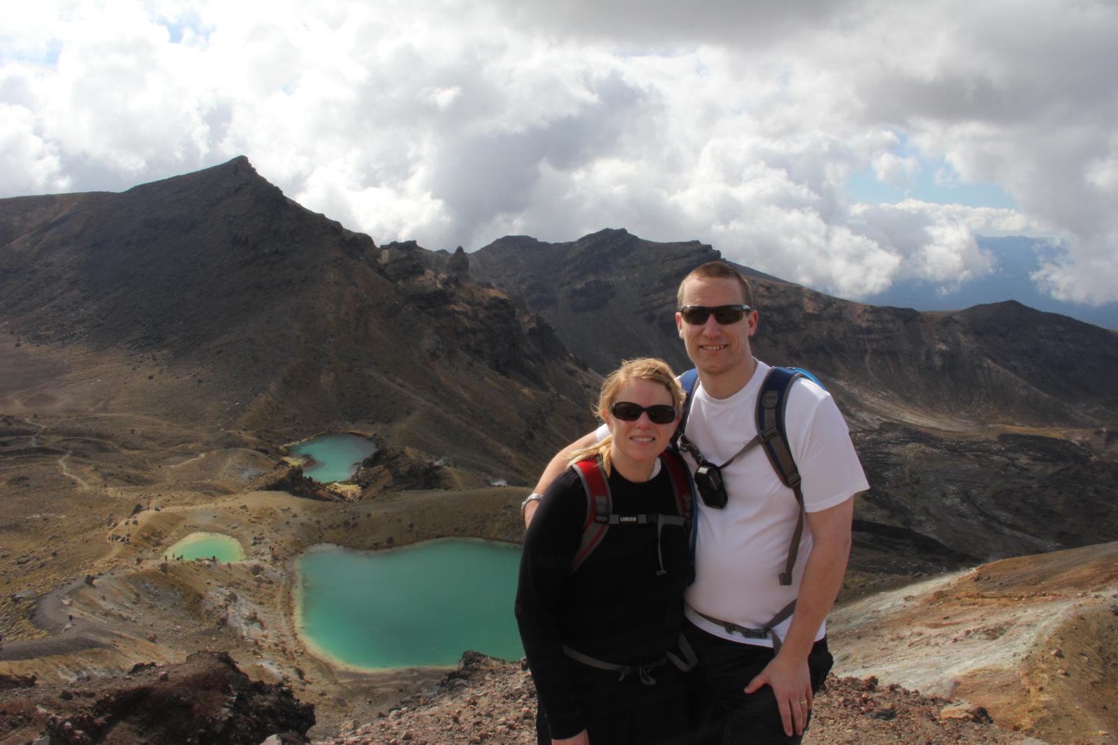
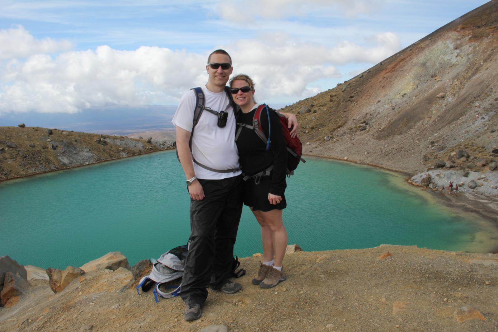
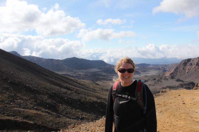
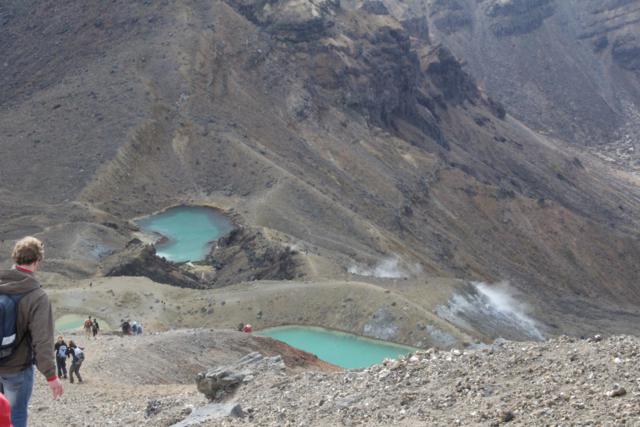
After we got down to the lakes we had to stop to take the gravel out of
our shoes and grab some photos


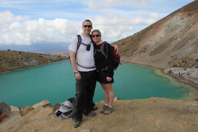
Some views of the trail and us at the lakes.
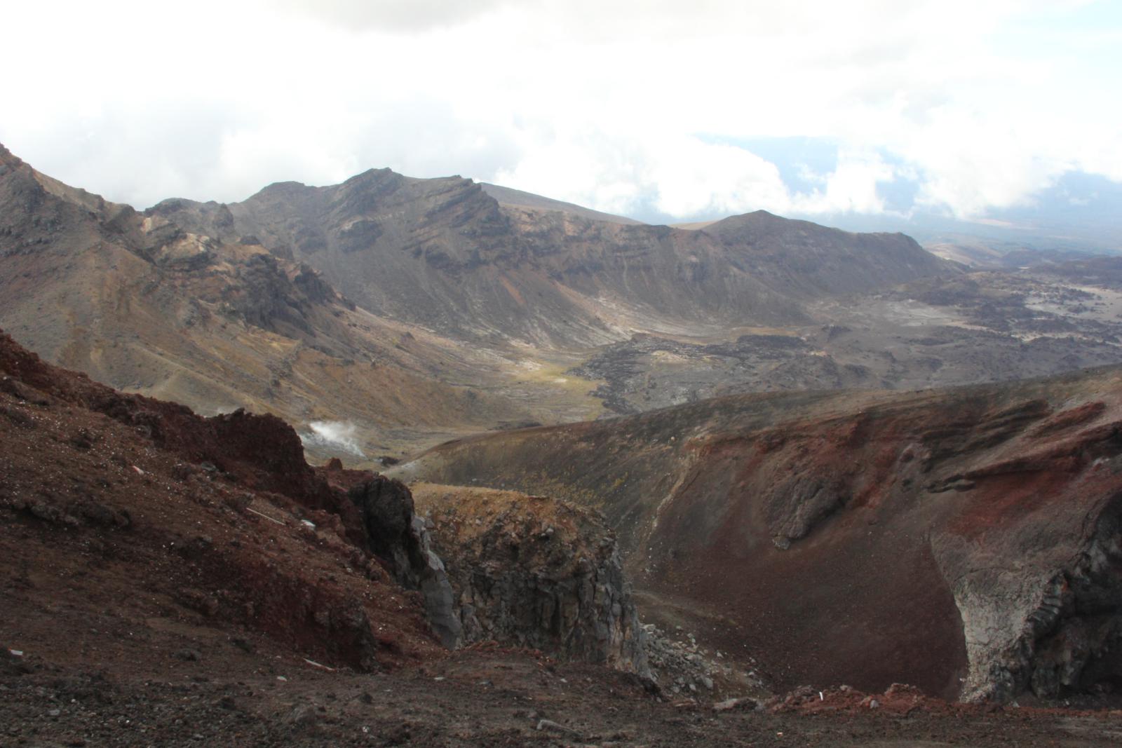
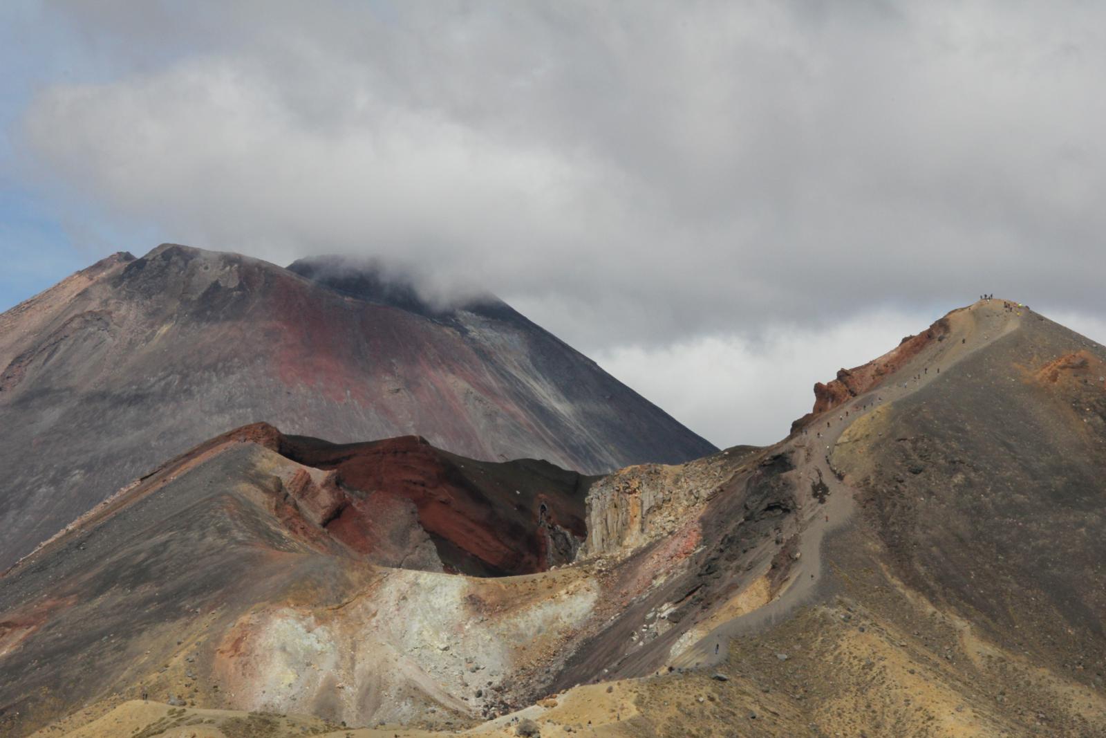
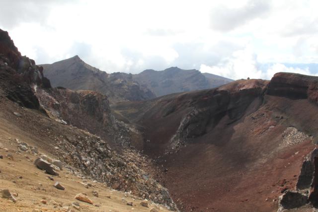
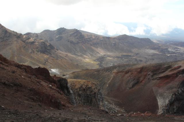
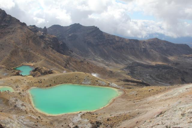
We took a brief rest at the lake then started through the last section
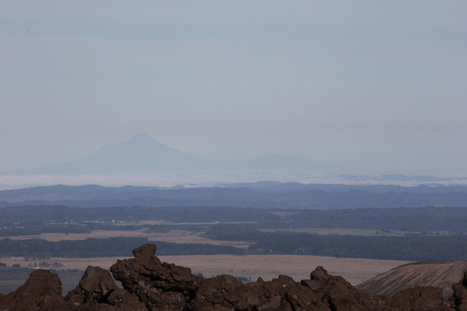
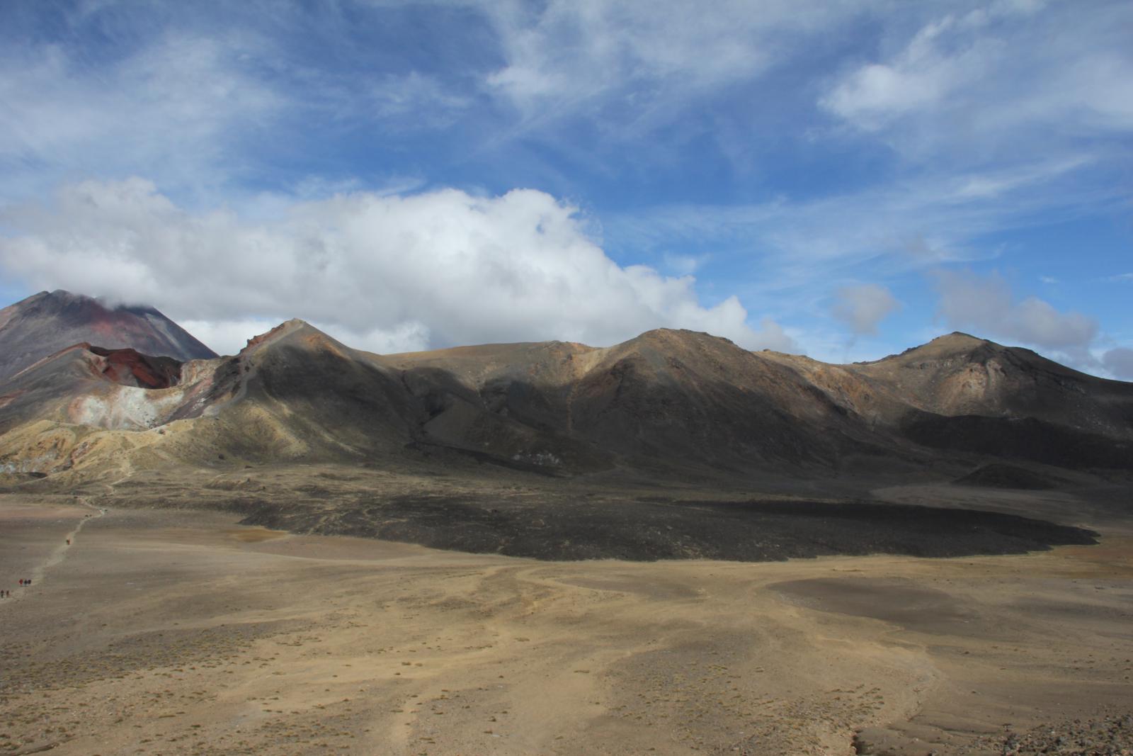
of the volcanic features on the crossing. From some of these
photos you can really see the different lava flows. The most
recent flow which is the darkest was from around 20 years ago.

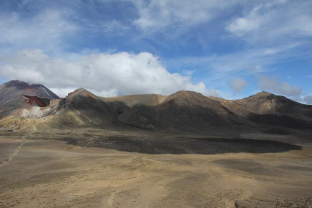
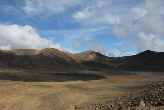

Last views of the craters and lava flows.
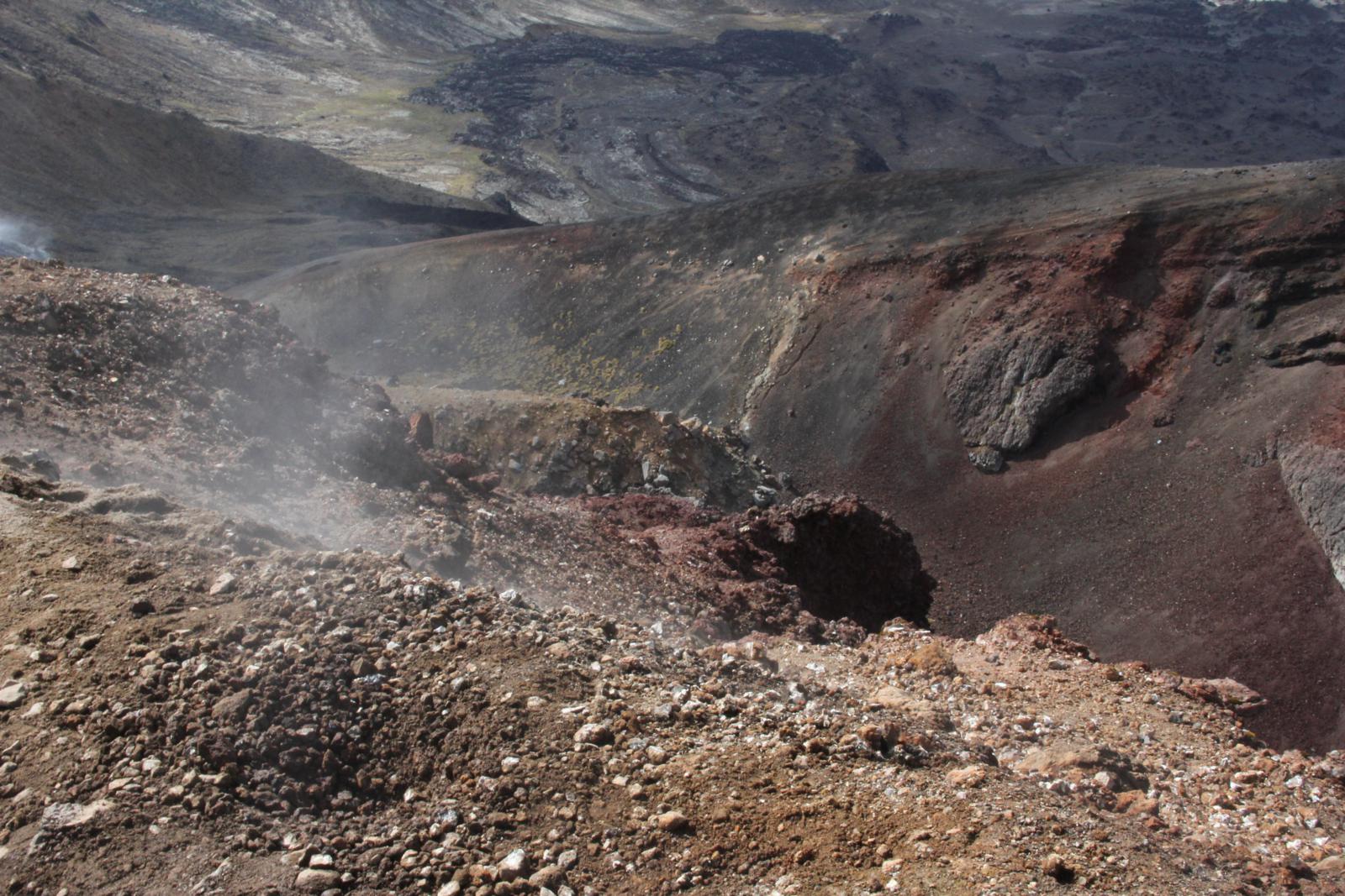
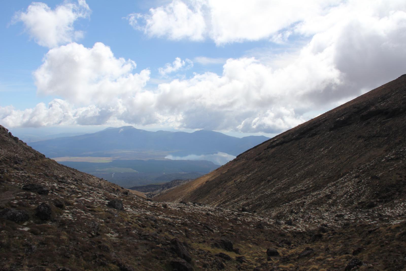
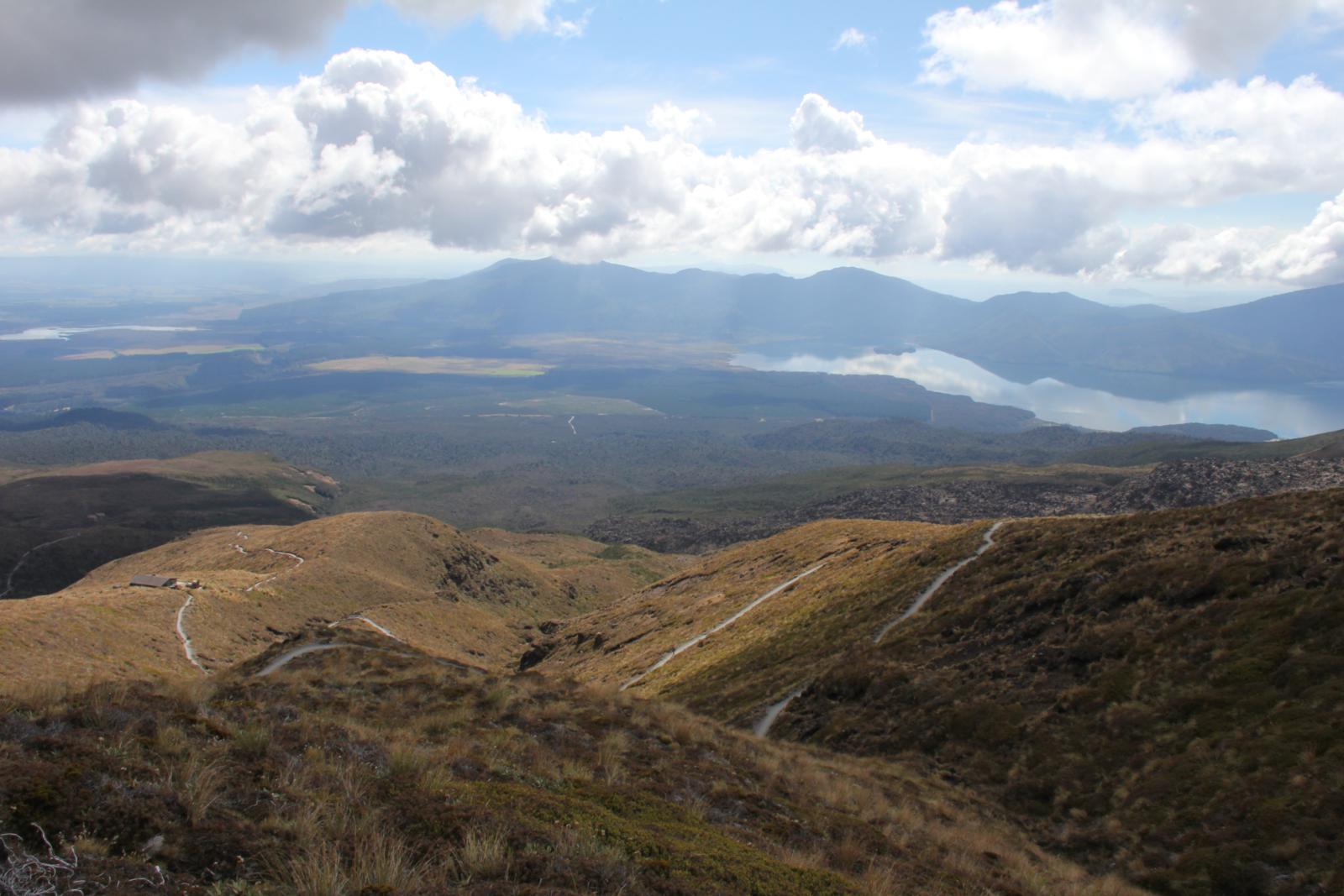
We continued on and headed out of the main volcanic plateau. The
trail then starts a meandering descent. Erin and I kept saying,
couldn't they have just made this trail a little steeper and a little
straighter? It seemed like quite a long way because of all of the
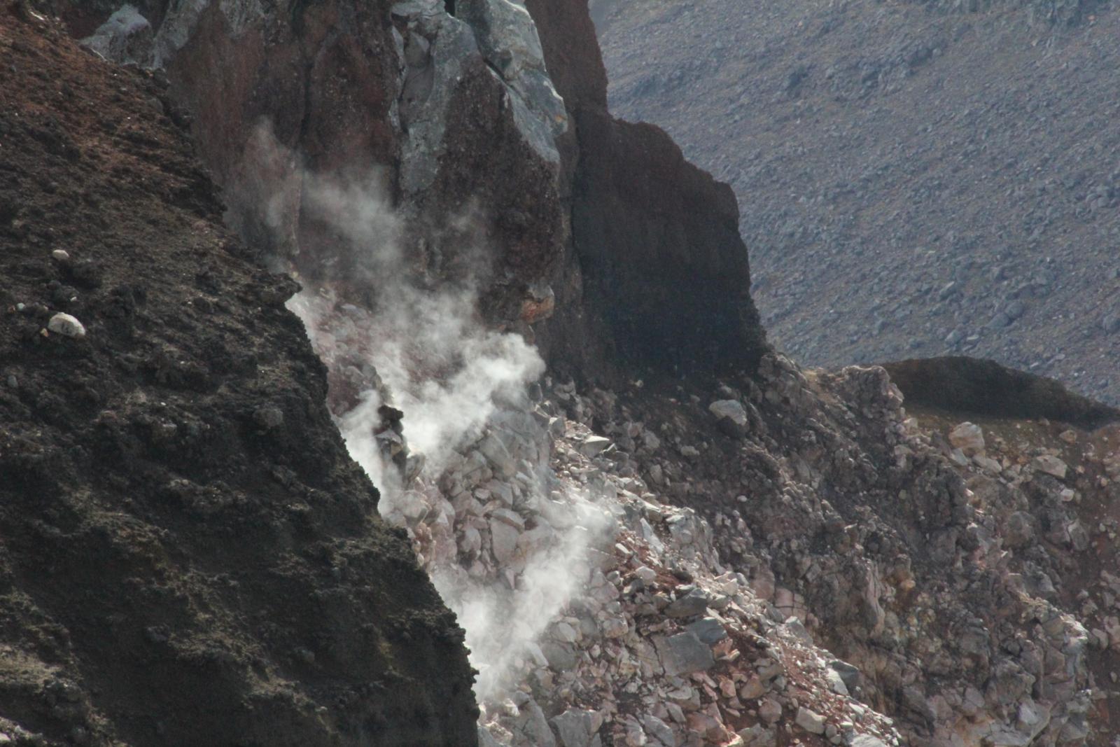
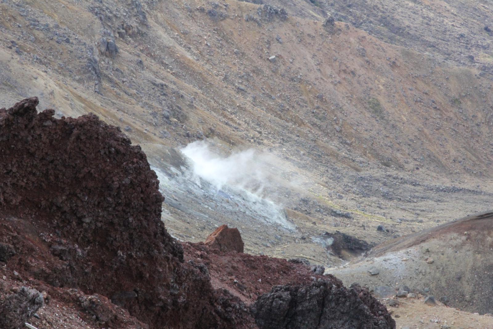
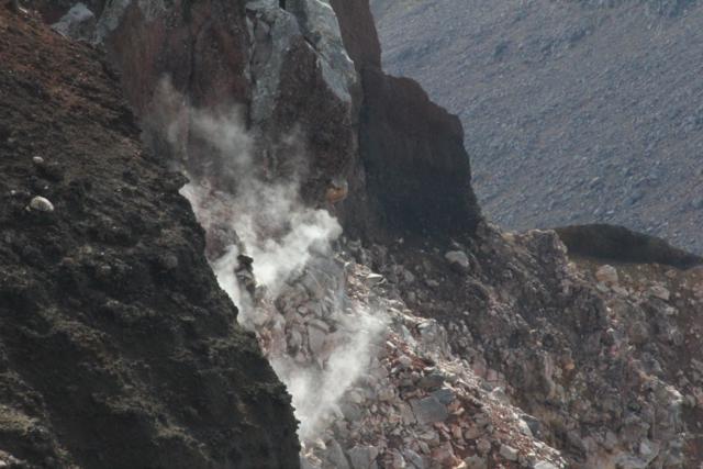
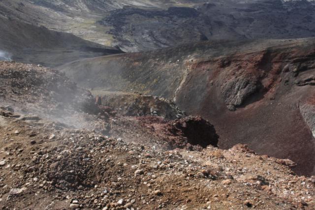
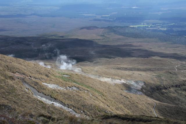
switchbacking. We also hiked by some hot springs, but those are
on private property, so you can't get very close to them. You can
really only see them steaming away from the trail.
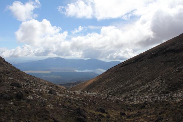
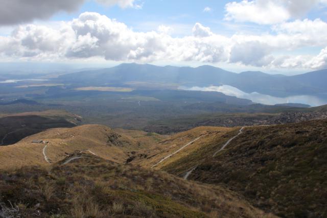

Walking down the meandering trail.
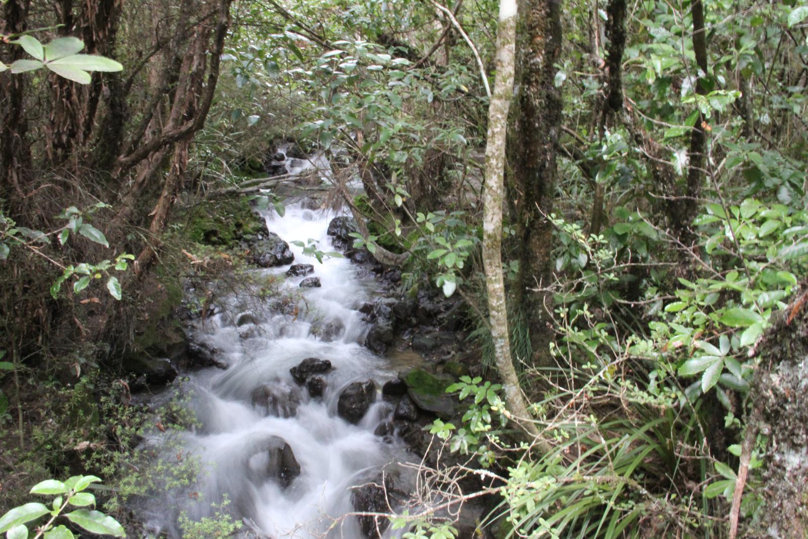
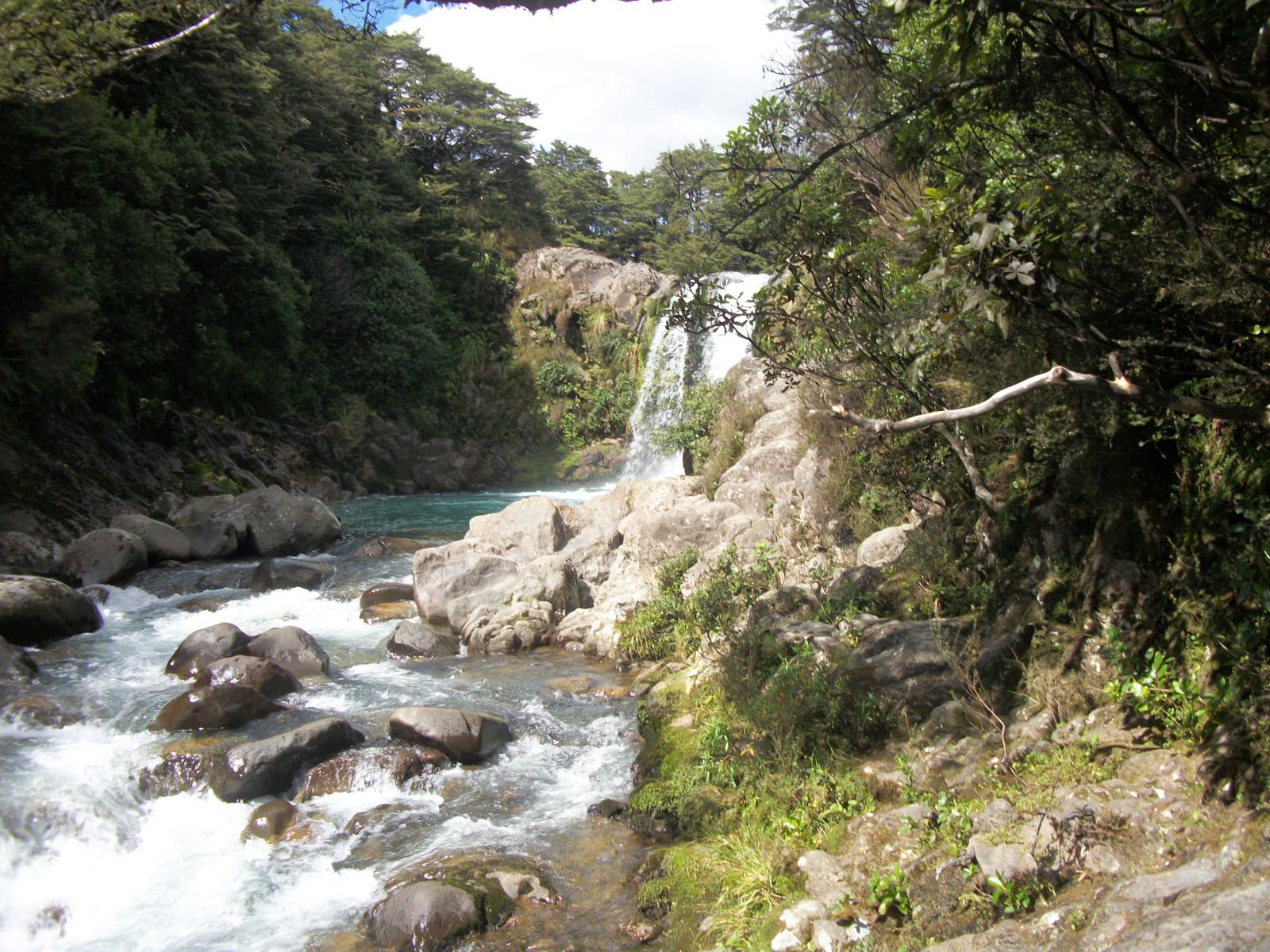
We were starting to feel the distance in our legs when we made a turn
and were surprised to hike right into a forest. We definitely
weren't expecting that. The start of the trail was in a desert
looking area and most of the trail was all rocky and volcanic. We
were very surprised to see a lush forest. We walked through the
forest for a mile or two back to the start. There was a nice
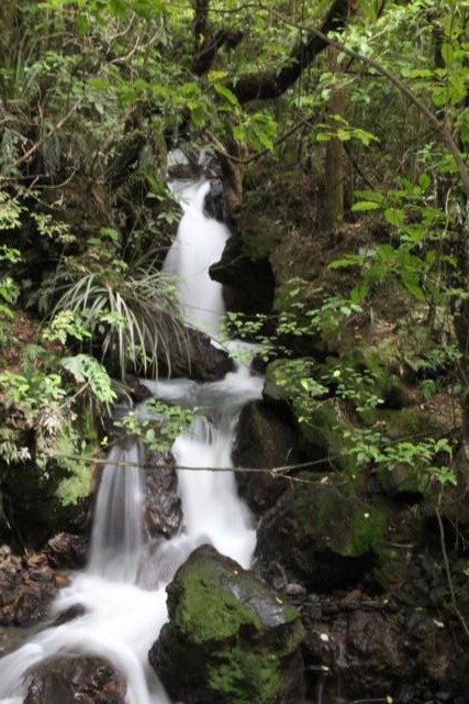
stream through some of the sections and even a couple of small
waterfalls. It was beautiful, but we were getting pretty tired,
so it was a little harder to appreciate. There was a nice
waterfall just a minute off the main trail, but we almost skipped it
because we were running a bit late meeting my parents. We had
called them along the trail to update our meeting time, but the last
section ended up taking than we expected.
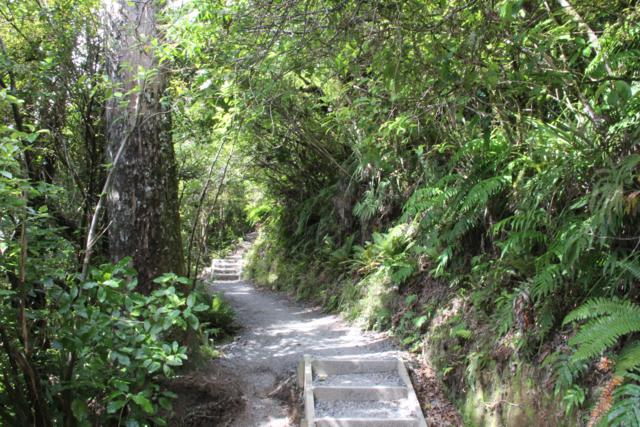

The last section of the trail hikes through a lush forest.
We hurried through the last section and found Tyler and my parents
waiting for us in the parking lot. There were also a lot of
people that we sitting around waiting for their shuttle vans to come
pick them up. Many of them still had 2 hours or more before their
shuttles were scheduled to come pick them up. We were very glad
that we were able to get right into the car and head into town to get
some food.


A victorious Erin sitting by the trail signs.
Overall, it was a great hike with tons of variety and some really cool
things to see. It was definitely worth the effort and the
time. Is the favorite hike we've done in the world, probably not,
but it is in my top 10.
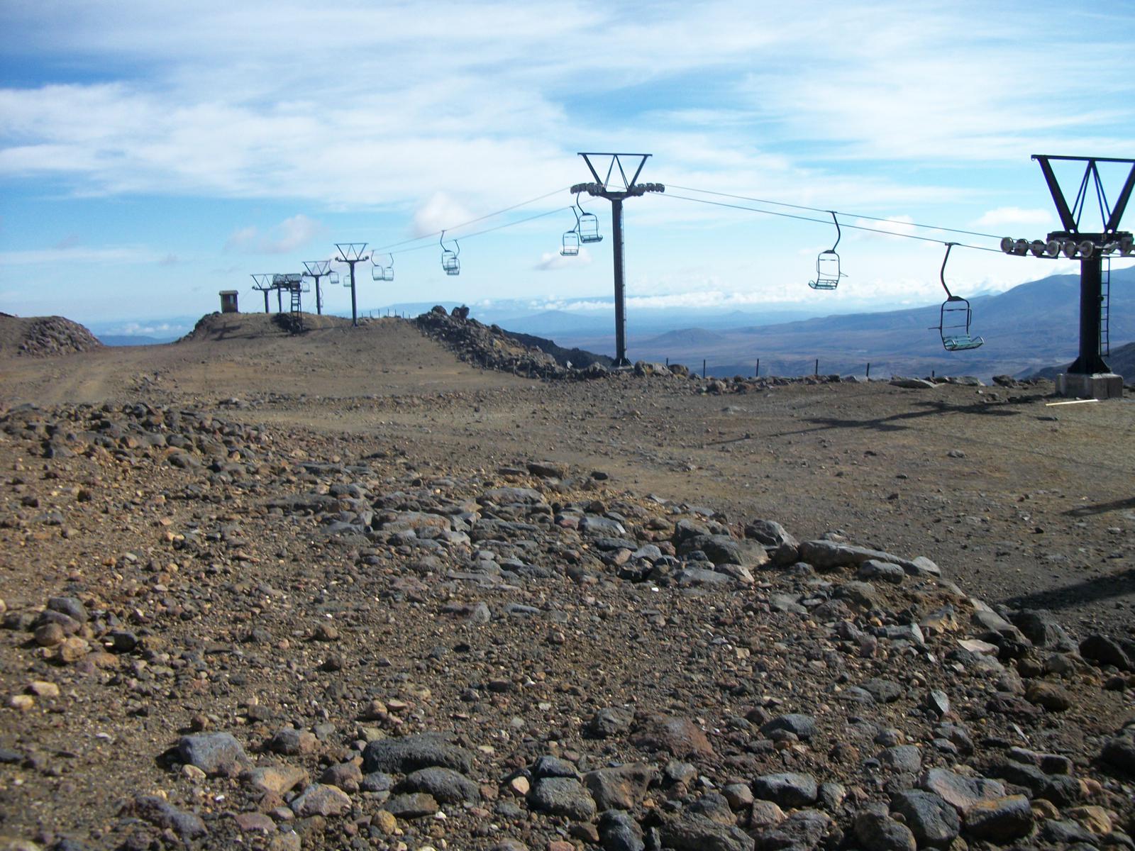
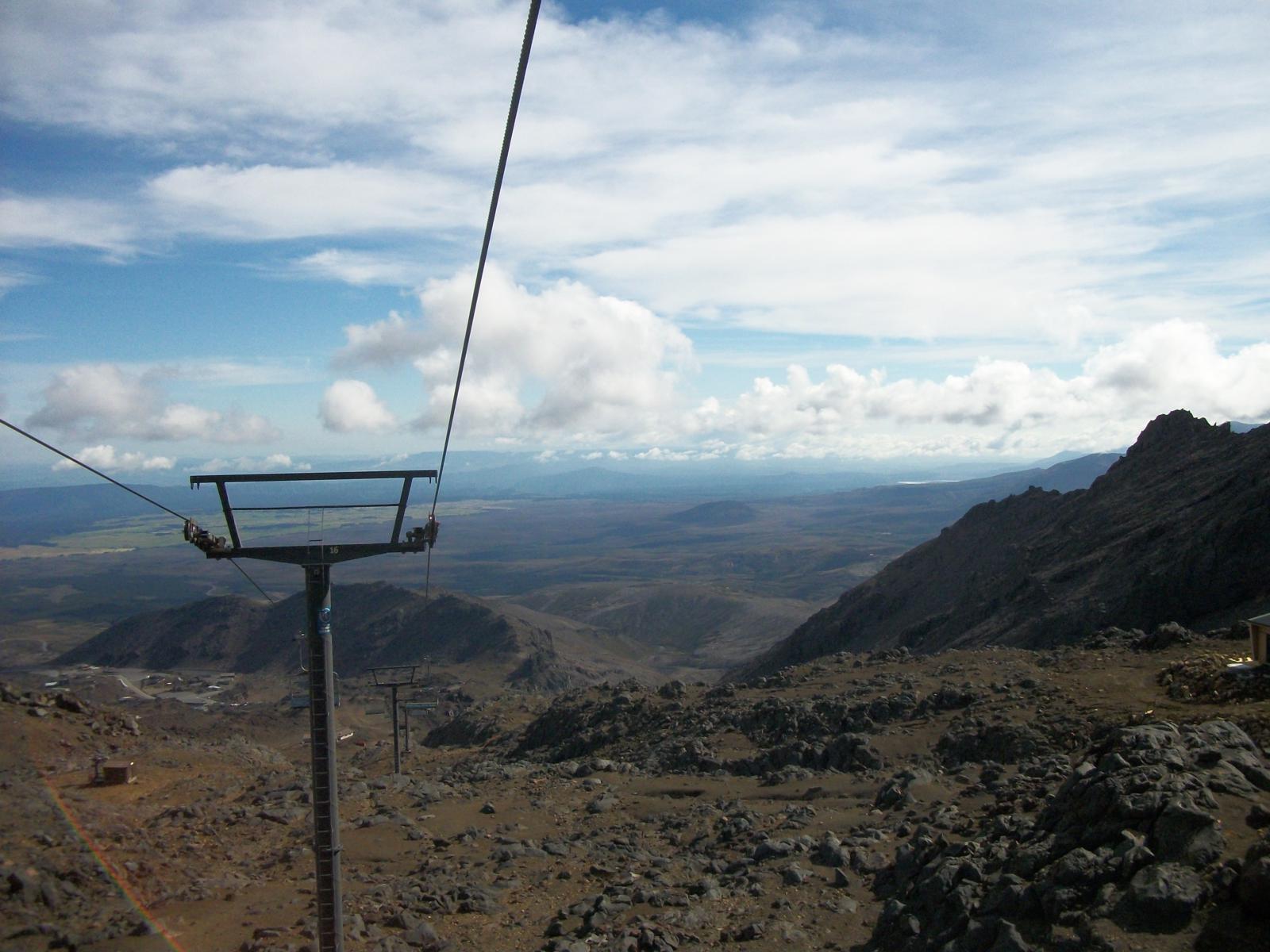
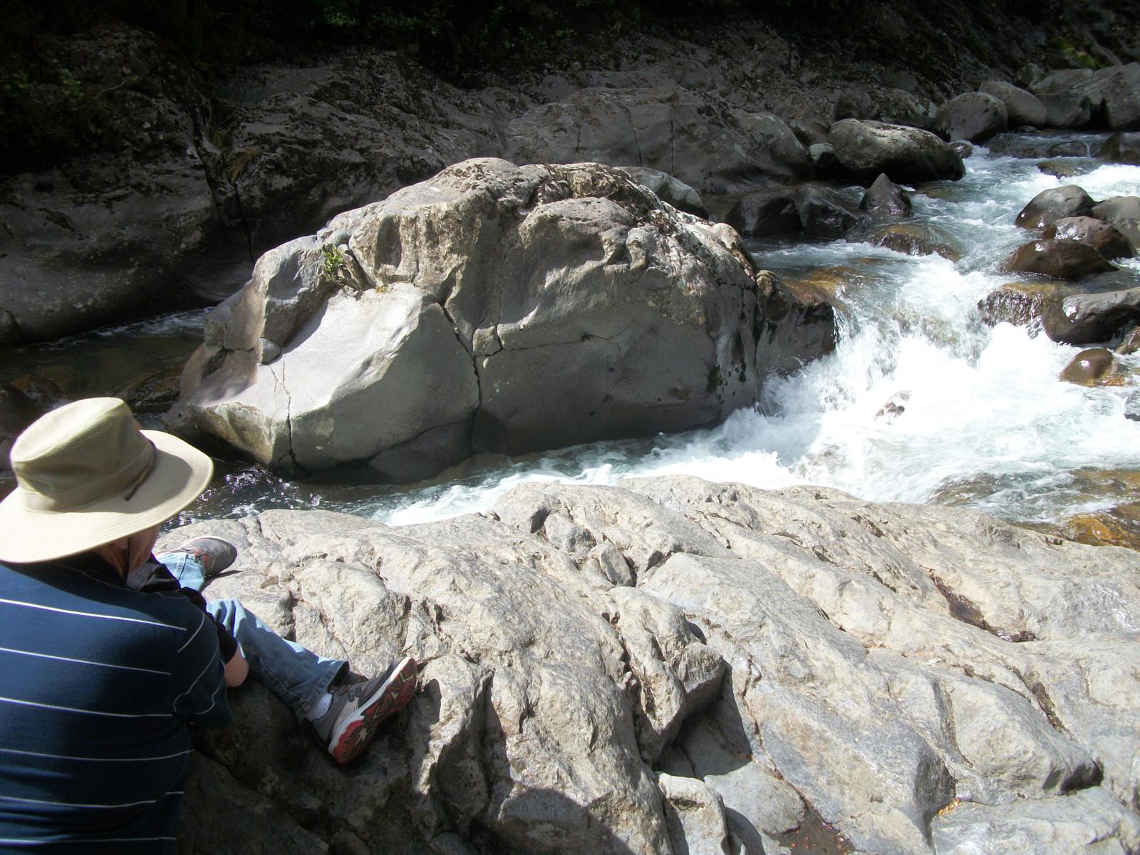
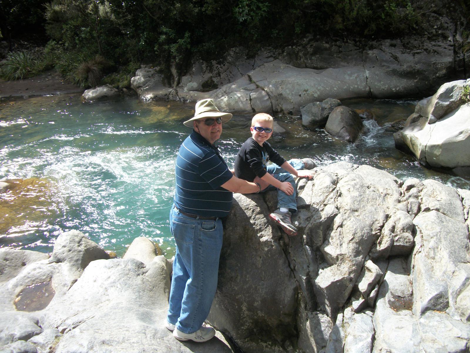
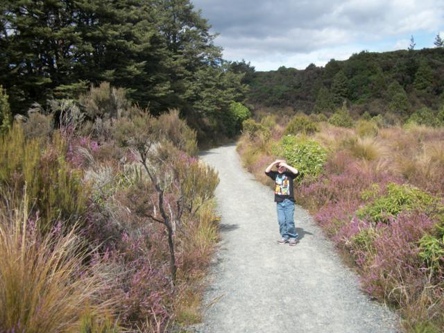
While we were hiking the alpine crossing, my parents took Tyler up the
ski lift that is nearby to the area. It was a new experience for
Tyler and he was pretty nervous about it, but my parents got him to get
on the lift and he had a great time. He had his camera with and
took some pictures.
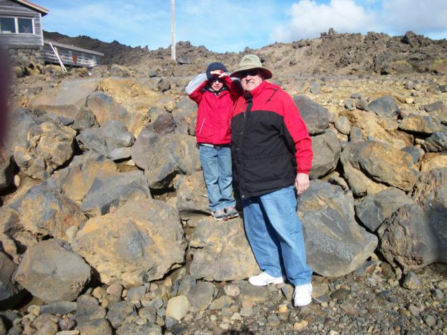
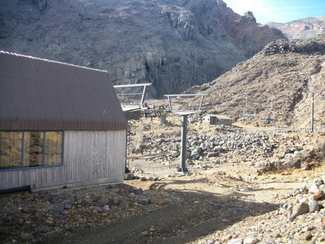
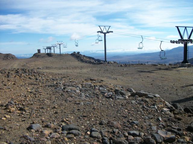

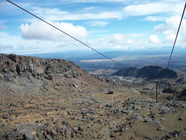
Tyler's pics from the ski lift.
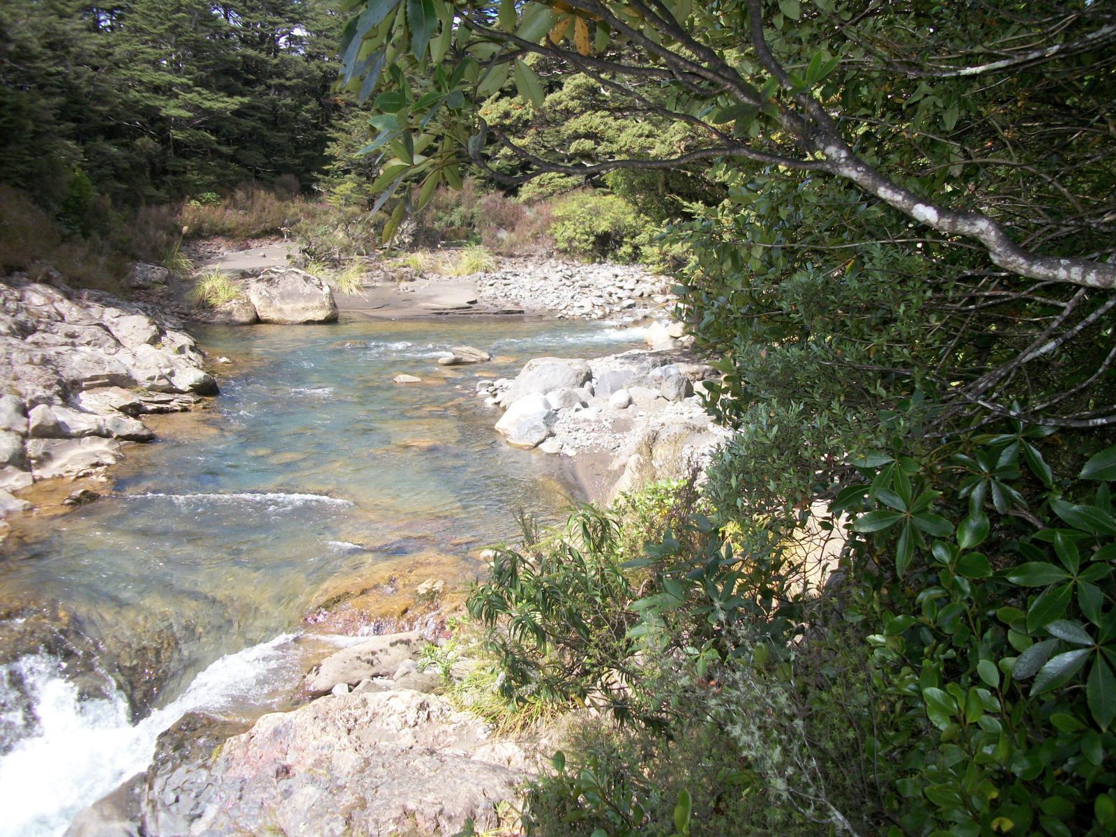
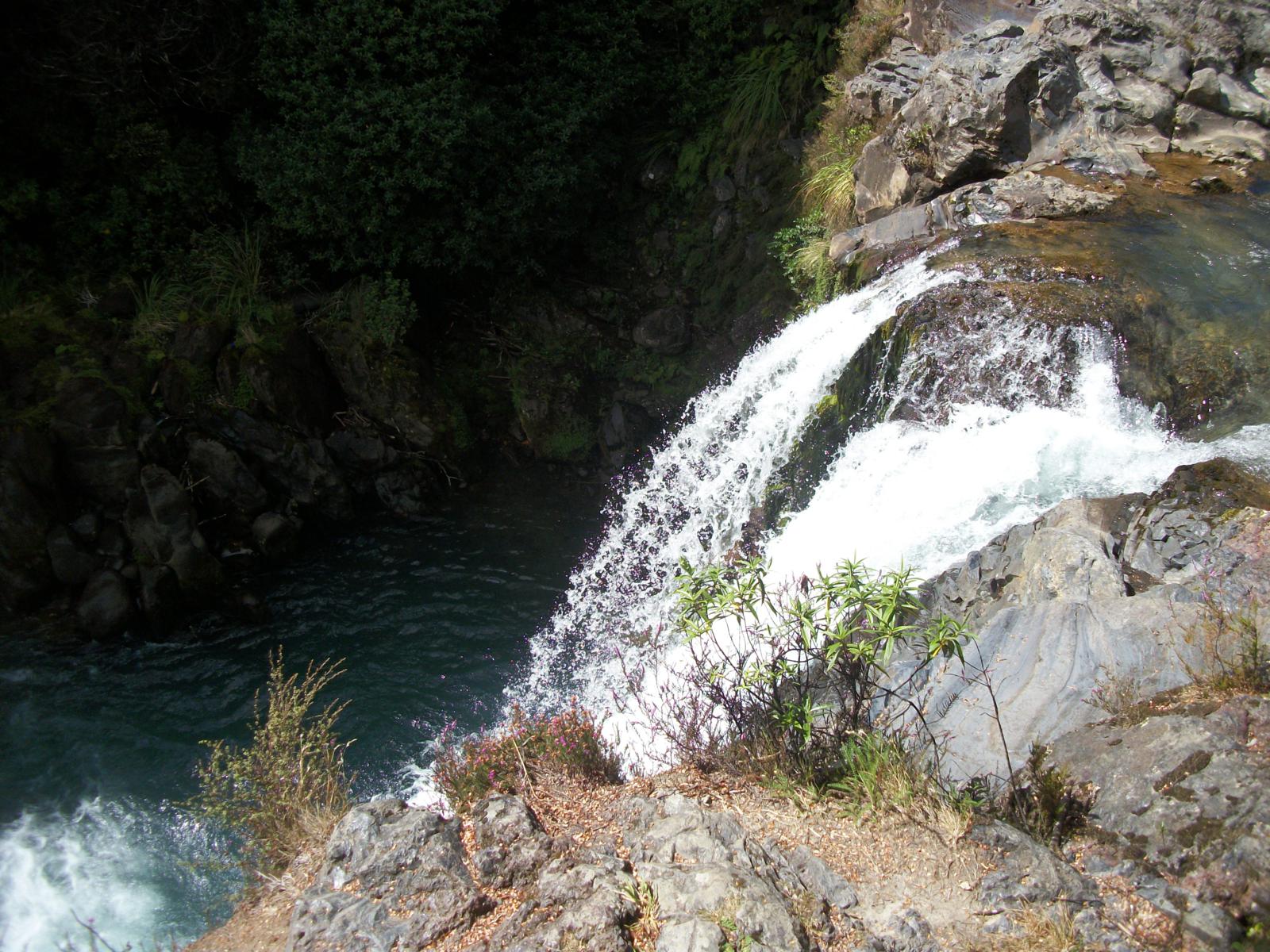
They also went to a nearby waterfall (can't remember the name) and took
a few pictures there as well.
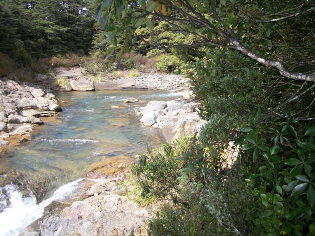


Tyler's pics from the waterfall.
After the long hike, we mainly relaxed in the afternoon. We did
try to find a geocache
in town, but some people were working on the sculpture where it was
hidden, so we gave up. Tyler lost his water bottle, so I walked
to an sporting gear store near our hotel to look for a bottle. I
got there a few minutes before they closed, but they didn't have the
kind of bottle I was looking for, but the owners spent about half an
hour talking to me about New Zealand and Iowa. They were very
interested in where we were from and why we picked New Zealand to come
for a vacation. They were also astonished (as many people were
that we met) that we came all the way to New Zealand for ONLY 2
weeks. I tried to explain to them that 2 weeks was about as long
as I could ever get away from my job at one time and they both couldn't
fathom such a short time for a vacation. I eventually excused
myself and went back to
the hotel.
Continue to Day 4
Back to trip home